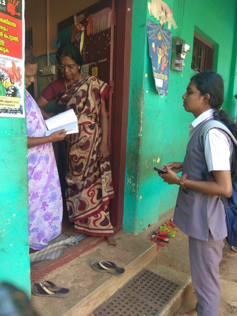
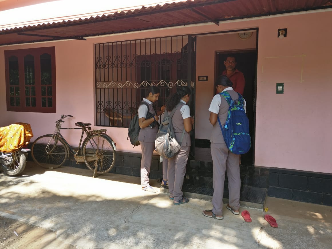
NSS units conduct GIS survey of Choondal Grama Panchayath
The NSS units of Vidya conducted a survey of Choondal Grama Panchayat in Thrissur District using the geographic information system (GIS) technology during 10 – 11 January 2019. As many as 24 NSS volunteers participated in the programme. The focus of the survey was to accurately mark in a map the locations of buildings in the Panchayath area.
|
A geographic information system (GIS) is a system designed to capture, store, manipulate, analyze, manage, and present spatial or geographic data. GIS applications are tools that allow users to create interactive queries (user-created searches), analyze spatial information, edit data in maps, and present the results of all these operations. GIS can refer to a number of different technologies, processes, techniques and methods. It is attached to many operations and has many applications related to engineering, planning, management, transport/logistics, insurance, telecommunications, and business. For that reason, GIS and location intelligence applications can be the foundation for many location-enabled services that rely on analysis and visualization. (Wikipedia) |