Views: 2,511
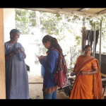
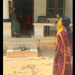
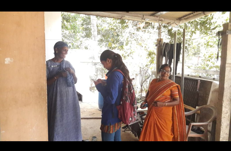
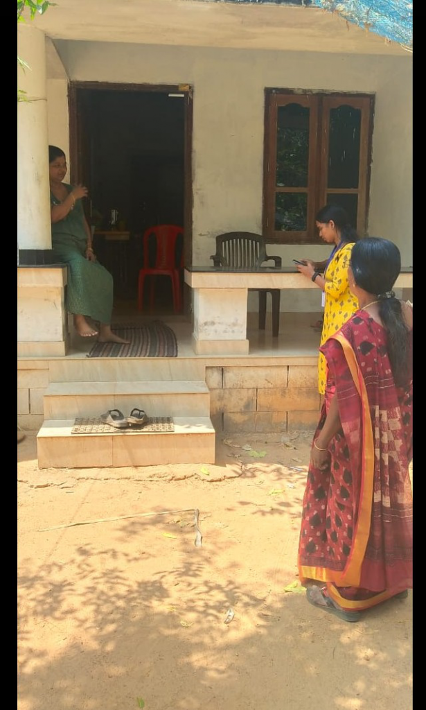
The NSS volunteers of Vidya conducted a GIS survey at Chowannur Block Panchayath on 21 – 22 February 2020 with the assistance of Kudumbasree members. On 29 February 202, another group of NSS volunteers conducted a GIS survey of approximately 3000 houses in Kandanissery Gramapanchayath area. The objective of the survey was to map the private properties in the Gramapanchayath area.
What is GIS?

Geographic Information System (GIS) is a system designed to capture, store, manipulate, analyze, manage, and present spatial or geographic data. GIS applications are tools that allow users to create interactive queries (user-created searches), analyze spatial information, edit data in maps, and present the results of all these operations. Since the mid-1980s, geographic information systems have become valuable tool used to support a variety of city and regional planning functions. (Wikipedia)
|