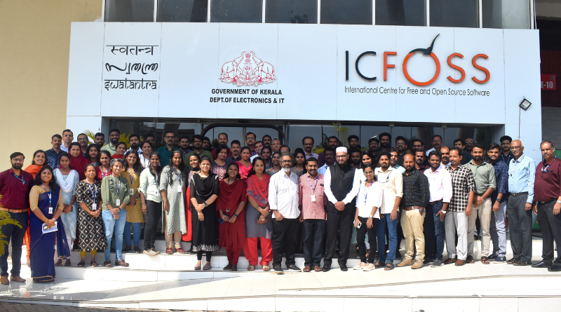
FOSSers Club Convener attends one-day workshop “GIS Insights: Mapping Tomorrow with Open Source Spatial Solution”
With an aim To create an awareness of incorporating GIS solutions in governance To familiarize with open source solutions in GIS and To familiarize with open source solutions in GIS, Mr Sajay K R (Asso Prof, MCA and Convener of FOSSers Club,VAST) attended a one-day workshop titled “GIS Insights: Mapping Tomorrow with Open Source Spatial Solution” organised by International Centre for Free & Open Source Solutions (ICFOSS),Trivandrum on 18 January 2024.
The sessions were handled by invited experts from the industry.This program is designed to provide an on the benefits of Open Source Solutions in GIS.
GIS (Geographic Information Systems)
GIS stands for Geographic Information Systems and is a computer-based tool that examines spatial relationships, patterns, and trends in geography.Geographic Information Systems (GIS) store, analyze, and visualize data for geographic positions on Earth’s surface.
| Hearty congratulation to Mr Sajay !!! |

